After such a prolonged period of lovely weather, it was disappointing to turn up at the Bus Stop car park in Abergavenny with rain starting to fall. Three of the Tŷ Hafan Dads taking on the Catch22Peaks challenge in 2027 had joined walkers taking on the 2027 Tŷ Hafan Machu Piccu trek.
The 9.7-mile trek took us 4 hours and 24 minutes and the elevation gain was 1,727 feet (526m). To put this in perspective, climbing Pen-y-Fan from the Pont ar Daf car park has an elevation gain of 1450 feet (442m), although this is over a shorter distance.
The Sugar Loaf Mountain
James, Ryan and Paul had proposed a route that would take the group up to the top of the Sugar Loaf Mountain (Welsh: Mynydd Pen-y-fâl), a distinctive, conical mountain in the Black Mountains of South Wales, standing at 596 metres (1,955 feet) tall just northwest of Abergavenny. Although not high enough to be recognised as one of the 34 mountain summits (Nuttalls) in Bannau Brycheiniog ranging from 886m down to 616m, and not high enough to be included in the Catch22Peaks challenge, the mountain remains one of the most prominent and recognisable local landmark hills due to the isolated, conical shape.
Nevertheless, the trek to the top from the centre of Abergavenny would be challenging.
The Route
From the Bus Stop car park (Monmouth Road, Abergavenny NP7 5HF) we set off heading NNW through the town centre and along roads that would take us out of the town of Abergavenny. As we left so the rain started to fall.
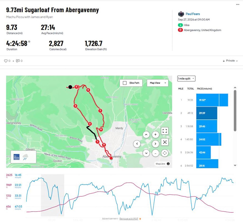
Near Pen-y-Pound we followed Avenue Road into Chapel Lane and then through an alley onto the country Pentre Road. We had walked just over 1-mile. With the road starting to climb, we climbed up a short bank on the left-hand side of the road and over a stye which took us into the countryside and away from civilisation. Thankfully, the little rainfall had stopped and so it was time to put the waterproofs back in the rucksacks, especially as we would now be climbing for some time. Still heading NNW along a fern-lined corridor path, we crossed another stye and followed a small road before taking a right and then left turn back onto the mountain. We had passed the 2-mile mark.
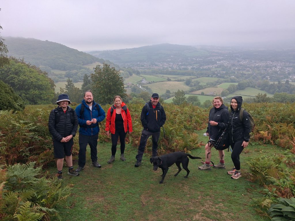
Now we were walking into the low cloud that obscured any view. We climbed between more fern-lined paths up past the Rholben peak (338m). However, after reaching 3-miles, rather than descending slightly before climbing up to the peak, we made the error of continuing to head up-hill, taking a path heading NNE.
This path eventually reached one of the main paths people follow to the summit. Having now covered 4-miles, we turned directly west, we followed the path, which then climbed very steeply from around 400m to 596m. As we climbed the temperature dropped and so the waterproofs came back out of the rucksacks.
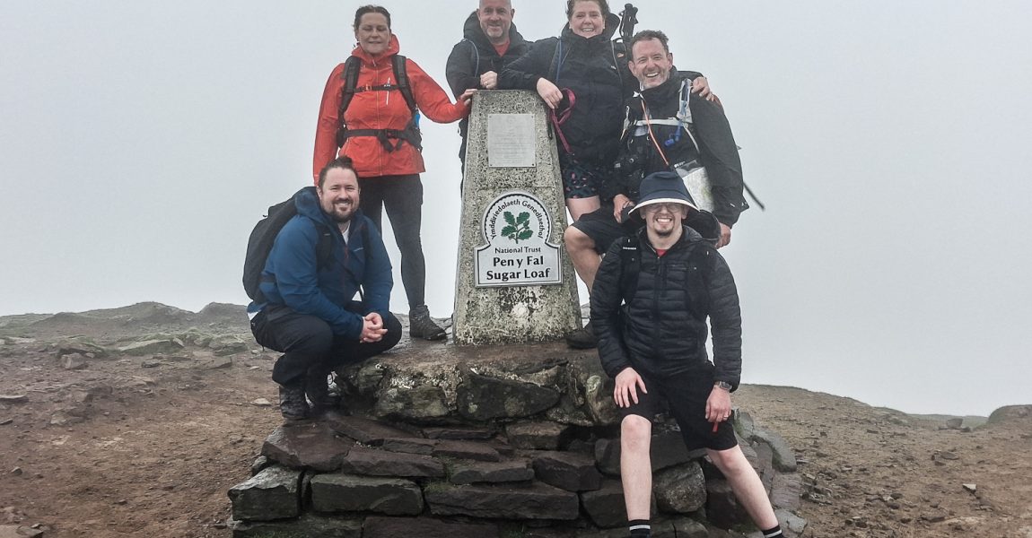
The last section up to the top was tough. Steep and uncompromising, we reached the top to be greeted by exceptionally high winds and low cloud. The wind was making standing still almost impossible. With low visibility we walked across to the peak.
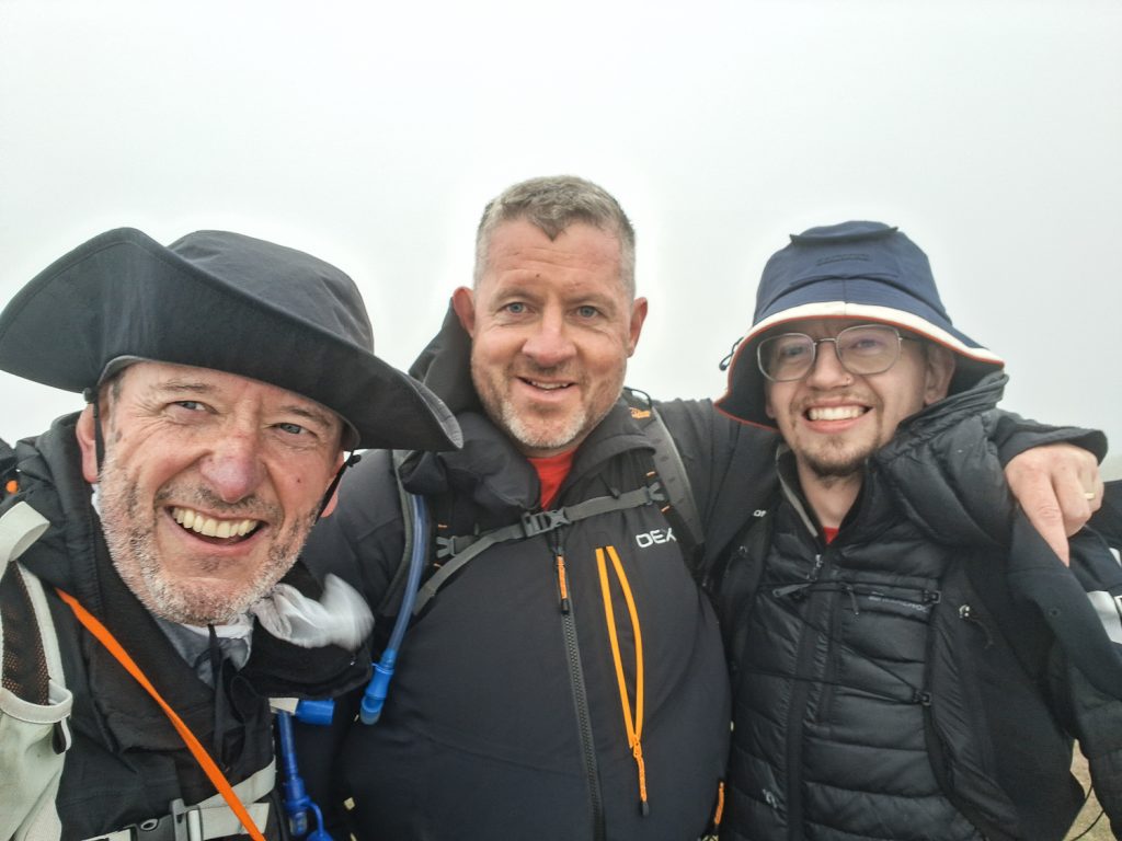
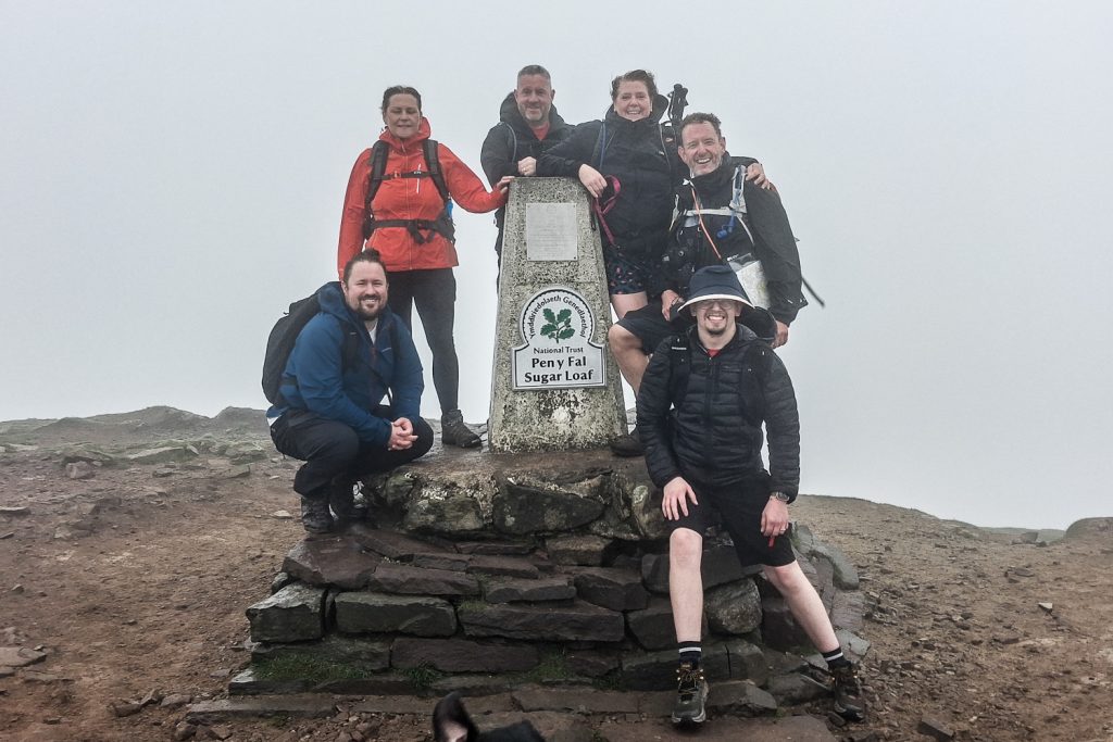
After having the obligatory photographs in the low cloud and high winds at the trig point, we followed the path back down the mountain. After walking for around 5.5 miles we reached a gate and stopped to enjoy some much-needed lunch before following a path SSE towards Deri Allt (376m). The weather had now changed, with low cloud skirting across the Sugar Loaf peak and views across the valleys over Abergavenny towards Raglan.
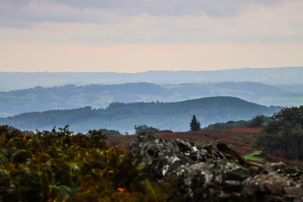
The path turned directly south, passing Twyn-yr-Allt (341m) before we zig-zagged through some ancient woods, passing 8-miles, and joined a road that would taken us back to Abergavenny.
Our walk along the Abergavenny roads to the car park marked the return of the rain and by the time we had taken our boots off and loaded up our rucksacks, the weather had turned for the worse.
The 9.7-mile trek had taken 4 hours and 24 minutes, which meant a very respectable pace of 27 minutes a mile.
A highly recommended route, which we would all like to redo but in better weather when we can see the views. And some more much-needed miles in the legs as we train for next year’s Catch22Peaks challenge!
A similar route can be found on the Ordnance Survey OS Maps website – Hiking: Sugar Loaf, Monmouthshire
Presently, the team is looking for sponsors for kit and minibuses and please contact Paul if you can help.
Paul’s email is paul@paulfearsphoto.co.uk